Vehicle and asset tracking
We apply our software engineering expertise and experience in GPS fleet management solutions to help our clients better control their mobile assets.

People, vehicles and devices. Know the position of your assets in real time.
Tracking management has been our strong point for years. Ridesharing systems, apps for real time delivery management or complex enterprise management software are among the projects we've developed for national and international clients.The development of vehicle and asset tracking systems is a very complex niche market in general. It requires the design of highly transactional server components and databases that can handle geospatial data types (coordinates, polygons, routes) and queries. Another challenge is developing the client components responsible for tracking, whether they're native apps installed on COTS devices or standalone hardware components. In fact, the tracking devices must be reliable, energy-efficient and as open as possible to collect and send additional data relating to the vehicle.
Over the years, we've developed complex tracking platforms able to respond to the most diverse needs, integrated with Google Maps and HERE Maps APIs. In Australia and the USA, we've worked on two rideshare projects (Lyft/Uber clones) aimed at a niche market; in South Africa, we provide an enterprise platform to a courier that uses over 2000 heavy vehicles every day.
In most cases, we also integrated a classic CRM for vehicles and drivers into the tracking system, with document expiry checks and flows for onboarding and the management of repairs and maintenance.
Not just tracking; automation based on geospatial data
When tracking doesn't suffice, we develop custom software capable of interpreting geospatial data, identifying patterns and making decisions independently.Linking the position of a vehicle to alert or automation systems is a frequent requirement. For example, a control centre can be alerted if a truck with a dangerous load drives through an urban area, passengers can be warned of the imminent arrival of their car, or a recipient can be notified of any changes to the delivery date of their package. Furthermore, we can evaluate global fleet parameters and send alternative routes and destinations to vehicles to homogenise their position on the territory. We use our expertise to ensure the efficient management of geospatial data; contact us for an obligation-free chat to explain your requirements to us so we can evaluate if we can help you.
Discover just some of our projects involving tracking and geolocation:

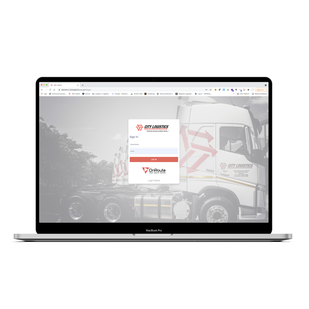
The main purpose of the OnRoute Visibility project is to control a fleet of vehicles for one of the largest logistics operators in Africa.
Learn more
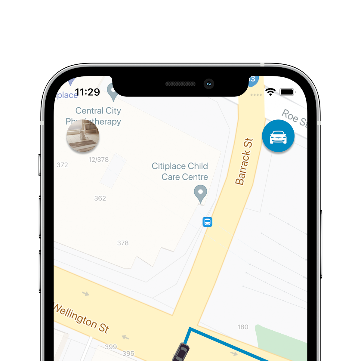
MySwan is a ride-sharing service that makes extensive use of tracking technologies.
Learn more
 richieste@elbuild.it
  Elbuild s.r.l.